About us

At Albatross Drone Solutions, we provide industry-grade aerial inspection and mapping services that empower organizations to see their assets from a smarter perspective.
Drone flying over green farmland at sunset

What we do

We combine advanced drone technology, certified pilot operations, and structured data processing to give organisations a clearer, safer, and more cost-effective view of their assets and land. Every mission we fly is built on three operational principles — accuracy, safety, and data that drives decisions.

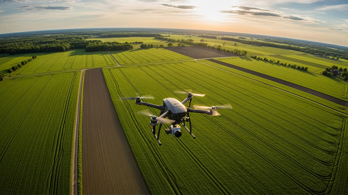
Our services span two core capability areas: aerial inspection and aerial survey. Within inspection, we work across wind turbines, solar farms, powerlines and pylons, oil and gas facilities, and structural infrastructure. Within survey and mapping, we serve construction, mining, agriculture, and environmental monitoring clients with centimetre-accurate spatial data.

Every engagement — regardless of sector or scope — follows the same standard: pre-flight planning, CAA-compliant operations, structured data capture, and a deliverable that can be directly applied to your maintenance, compliance, or operational workflow.
Elevating Asset Intelligence

Our Mission

We believe that every inspection should provide more than just images — it should deliver clarity.

Our mission is to make aerial data simple, accurate, and impactful. Through cutting-edge drone systems and intelligent data processing, Albatross Drone Surveys helps companies enhance operational safety, reduce maintenance costs, and extend the lifespan of critical assets.
Professional, measurable results

Our Story

Founded with a passion for technology and precision, Albatross Drone Solutions began as a small aerial mapping service and has since evolved into a leading partner for industrial inspections across South Africa’s renewable energy industry.

Our early work in agricultural mapping and environmental monitoring laid the foundation for today’s specialized operations in renewable energy and infrastructure inspection.

From precision-measured topographical surveys to wind turbine inspections, our journey has always been guided by a simple commitment — to deliver professional, measurable results that clients can depend on.
Drone flying over yellow flower field at sunset

Our Team

Our team brings together certified drone pilots, data analysts, and technical specialists with experience across multiple industries. Every project is handled with meticulous attention to safety, compliance, and data precision — ensuring our clients receive insights they can act on confidently.
We don’t just fly drones — we deliver understanding.
Certified, Compliant, and Insured

Our Technology

All Albatross pilots hold valid Remote Pilot Licences (RPL) issued under South African Civil Aviation Authority (SACAA) regulations. We operate with full public liability insurance and comply with all applicable airspace, site safety, and operational requirements on every deployment.

We operate DJI Enterprise UAV platforms alongside RTK-enabled survey systems, thermal infrared cameras, multispectral sensors, and high-resolution RGB imaging payloads. Our systems are selected and configured per project — matched to the inspection environment, data requirements, and access constraints of each site.

Plan Your Next Inspection or Survey with Confidence

Whether you require industrial inspections, precision aerial surveys, or agricultural monitoring, Albatross Drone Solutions delivers regulated, professional drone operations backed by advanced data outputs.

Speak with our team to discuss your project scope, compliance requirements, and reporting needs.

All Rights Reserved 2026 Albatross Drone Solutions
Website Designed & Managed by Cetaya Digital