Agricultural Drone Services

Our drone imaging helps farmers and agronomists monitor crop health, assess irrigation efficiency, and detect issues early through multispectral and RGB imaging — delivering fast, accurate insights that help improve yields and optimise farm management decisions.

Our primary objective is to identify nuanced variations in plant health even before visible symptoms appear — detecting changes in the sunlight reflected by plants across different wavelengths.

Precision Drone Spraying

We provide targeted aerial spraying solutions, delivering precise application of pesticides, fertilizers, and liquid nutrients. Our drone-based spraying systems help reduce waste, save time, and improve coverage in challenging terrain or sensitive areas.
Tall pine trees under blue sky

Forestry & Vegetation Management

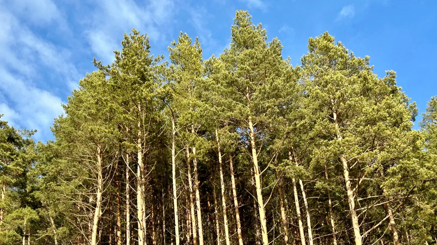
Our multispectral and RGB surveys provide detailed data to support vegetation and forestry management decisions.

  • Plant and tree counting — accurate planting strategies and resource allocation
  • Vegetation health mapping — assess condition using multispectral imaging
  • Fire risk mapping — identify fire risk areas for proactive prevention
  • Biomass estimation and canopy volume assessment
Cracked dry soil with wildflowers and blue sky

Environmental Management 

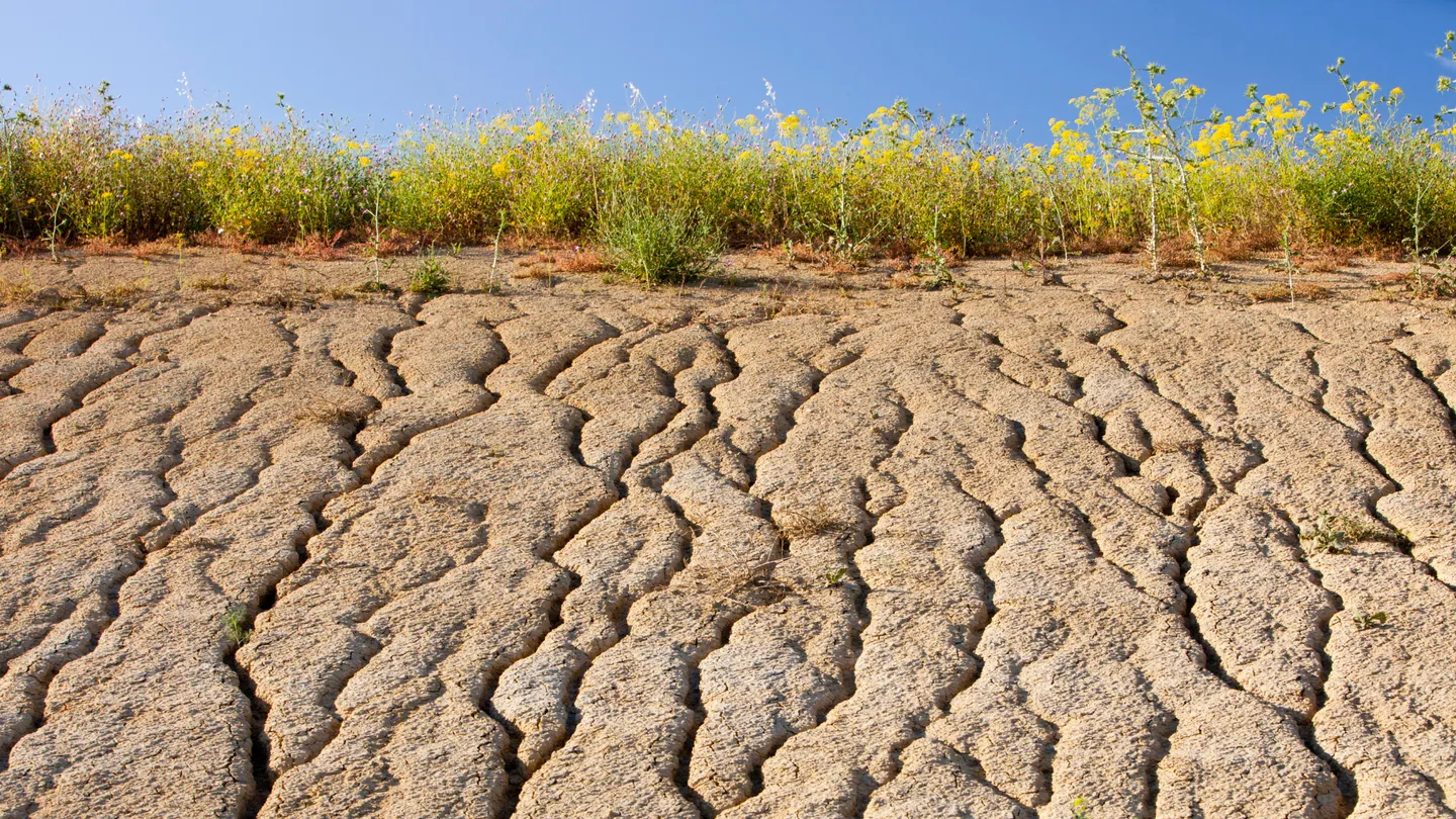
Our drone surveys support environmental management and compliance on commercial farms — providing the spatial data needed for monitoring, reporting, and proactive land management.

  • Monitor and control erosion — proactive management of high-risk areas
  • Control invasive alien plants — map and monitor distribution and clearing progress
  • Monitor potential contamination — drainage maps to prevent contamination and effluent run-off
  • Manage waste — identify low-risk storage areas through comprehensive site analysis
  • Yearly quantum surveys — updated plan detailing changes in farming and management activities

Topographic & Farm Surveys

Using advanced drone and RTK technology, we capture precise topographic data and generate high-resolution orthomosaic maps — providing accurate measurements for farm planning with centimetre-level precision.

  • Farm layout optimisation — strategic placement of fields, irrigation, and dams
  • Infrastructure design — detailed topographic data for roads, drainage, and structures
  • Erosion prevention — topographic insights and drainage models for targeted strategies
  • Drainage management — optimise surface water flow to prevent flooding and infrastructure damage

Multispectral Crop Monitoring

Our multispectral sensors detect a reduction in chlorophyll content in plants long before any yellowing of leaves occurs — capturing and recording variations in reflected light across different wavelengths that standard imaging misses.

  • Crop health assessment — block-specific assessments for targeted interventions
  • Precision irrigation mapping — map irrigation needs within blocks for maximum yield
  • Water management — analyse and optimise water usage in blocks

Plan Your Next Inspection or Survey with Confidence

Whether you require industrial inspections, precision aerial surveys, or agricultural monitoring, Albatross Drone Solutions delivers regulated, professional drone operations backed by advanced data outputs.

Speak with our team to discuss your project scope, compliance requirements, and reporting needs.

All Rights Reserved 2026 Albatross Drone Solutions
Website Designed & Managed by Cetaya Digital