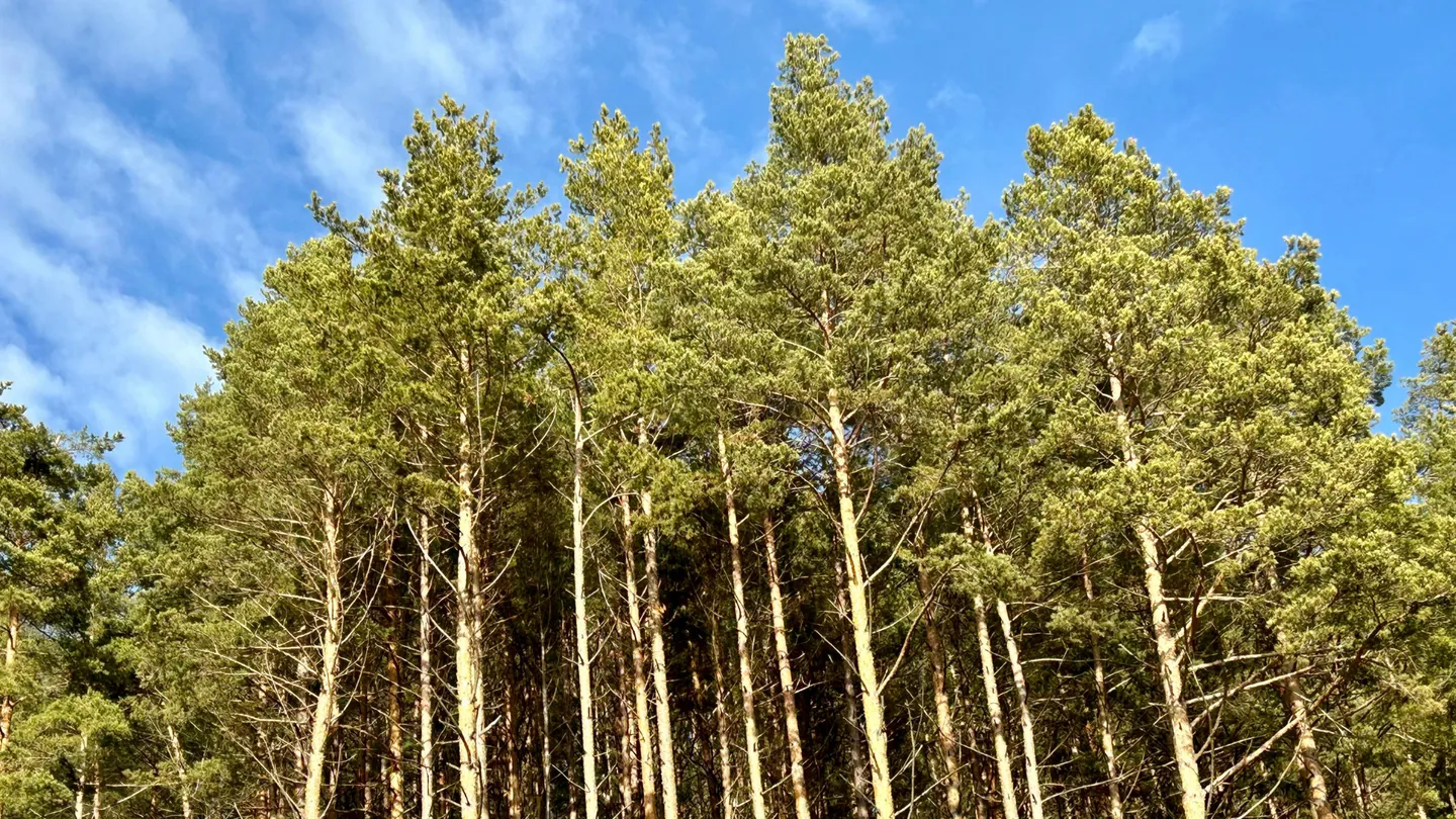
Our multispectral and RGB surveys provide detailed data to support vegetation and forestry management decisions.
Our drone surveys support environmental management and compliance on commercial farms — providing the spatial data needed for monitoring, reporting, and proactive land management.
Using RTK drone technology, we capture precise topographic data across farm areas — providing the accurate elevation models and orthomosaic maps that underpin effective farm planning.
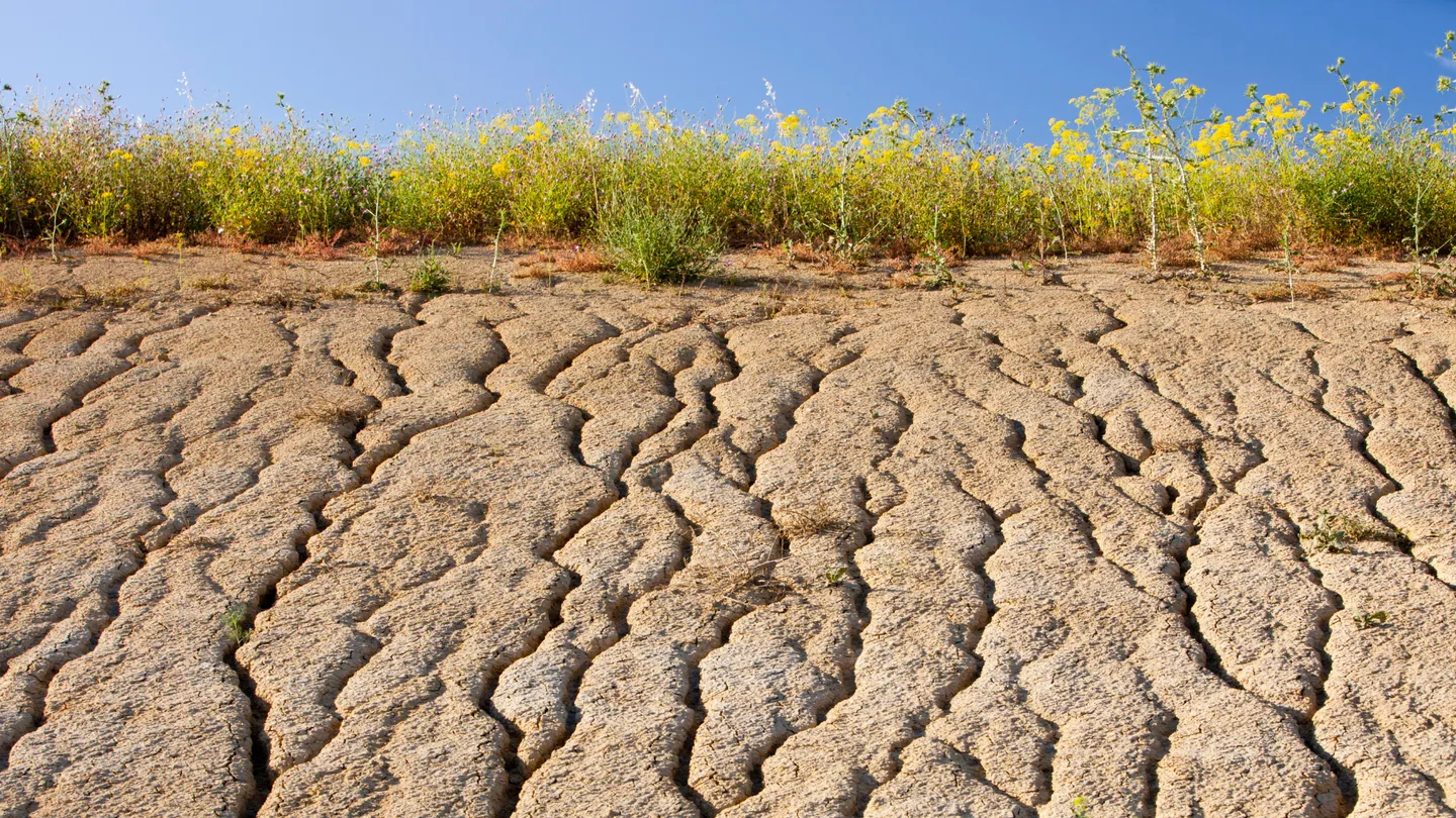
Our primary objective in agricultural monitoring is to identify nuanced variations in plant health before visible symptoms appear — detecting changes in the sunlight reflected by plants across different wavelengths. This early detection gives agronomists and farm managers the information needed for targeted, timely interventions.