Drone Survey & Inspection Services for Construction & Mining

Our drones collect accurate elevation models, stockpile volumes, and progress reports for construction sites and mining operations. We help engineers and project managers reduce time on-site while improving decision-making with detailed visual data.

Monthly Pit & Stockpile Surveys

Our drone surveys keep you ahead with accurate, up-to-date data across your pit operations — delivering the elevation models and documentation your operation requires for engineering, geological, and statutory purposes.

  • Monitor and reconcile pit depletion
  • Centimetre-accurate digital elevation models for engineering and geological requirements
  • Update of mine statutory plans for regulatory compliance

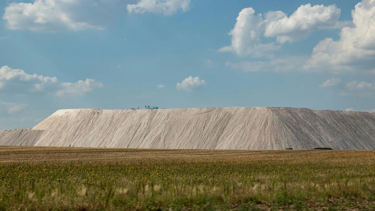
Gain real-time insight into stockpile volumes and proactively manage your tailings storage facilities and dump planning.

  • Stockpile volumes — real-time insight for precise inventory management
  • Tailings facility monitoring — early detection, risk assessment, and compliance
  • Baseline surveys — establish effective dump planning and optimise dump design for efficient waste disposal

Earthworks & Progress Monitoring

Our drones streamline earthworks development — providing efficiency and accuracy in terrain analysis, volume calculations, and progress monitoring.

  • Optimise land management through precise terrain analysis and volume calculations
  • Monitor construction progress in real-time to ensure adherence to project timelines
  • Improve resource allocation by accurately tracking material usage and distribution

Dam & Tailings Facility Monitoring

Our drone surveys improve safety and efficiency for dam condition assessments — reducing the need for personnel to physically access hazardous locations and enabling thorough inspections in a fraction of the time compared to traditional methods.

  • Improve safety by reducing the need for personnel to physically access hazardous locations
  • Thorough inspections in a fraction of the time compared to traditional methods
  • Detailed analysis of seasonal variations in dam freeboard
Large salt mound beside grassy field under sky

Environmental Assessment

Our drone surveys support environmental management and compliance obligations across construction and mining operations.
  • Yearly quantum surveys — stay ahead of environmental management and compliance
  • Monitor and plan rehabilitation — proactive monitoring to support rehabilitation efforts
  • Assess vegetation density — precise assessments of vegetation density
  • Minimise ecological disruption by accurately assessing the impact of construction activities
  • Monitor vegetation health and biodiversity to mitigate environmental damage

Site Layout & Hazard Planning

Up-to-date drone images and elevation models help you maximise the potential of your mining or construction site.

Optimise your site layout with current drone imagery and accurate elevation models. Prioritise safety through hazard assessments, with precise plans and clear identification of high-risk areas. Improve water and drainage management with detailed insights into surface water flow patterns.

Plan Your Next Inspection or Survey with Confidence

Whether you require industrial inspections, precision aerial surveys, or agricultural monitoring, Albatross Drone Solutions delivers regulated, professional drone operations backed by advanced data outputs.

Speak with our team to discuss your project scope, compliance requirements, and reporting needs.

All Rights Reserved 2026 Albatross Drone Solutions
Website Designed & Managed by Cetaya Digital