Our drone surveys keep you ahead with accurate, up-to-date data across your pit operations — delivering the elevation models and documentation your operation requires for engineering, geological, and statutory purposes.
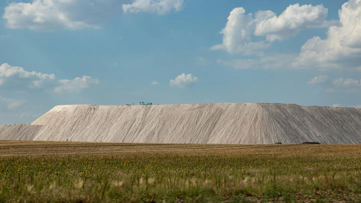
Gain real-time insight into stockpile volumes and proactively manage your tailings storage facilities and dump planning.
We help engineers and project managers reduce time on-site while improving decision-making with detailed visual data. For earthworks, this means accurate terrain analysis, real-time progress monitoring, and better visibility over material usage throughout the project.
Safe, efficient dam inspections are difficult to conduct using conventional methods. Aerial surveys reduce the need for personnel to physically access hazardous locations and allow thorough inspections to be completed in a fraction of the time.
Up-to-date drone images and elevation models help maximise the potential of your construction or mining site.